top of page
DATA MORPHOSIS
Design Research of Dynamic Systems | by Waishan QIU
 |
|---|
 |
|---|
Affordable Housing Biennale Atlas
Data Visualization and Exhibition
Professional work @ MIT Center for Advanced Urbanism
PI: Prof. Adele Santos
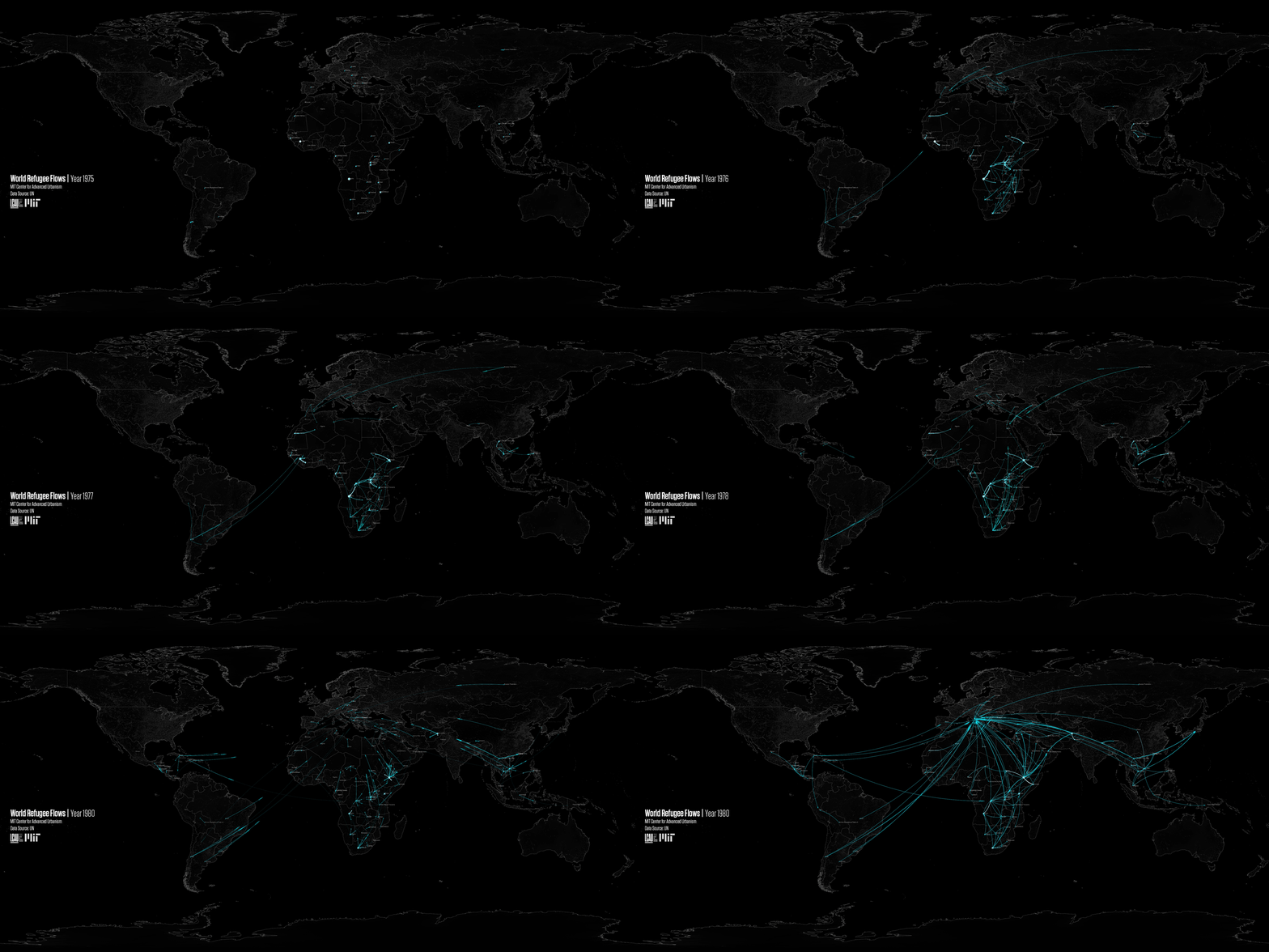
The atlas is a series of global scale mapping and data visualization on the topic of affordable housing. Related layers include world's population density changes from 1990-2010, GDP changes from 1990-2010, flooding risk assessment, housing affordability assessment for more than 200 worlds' major cities, global refugee flows from 1975-2016, housing rights condition, population live in slums, and urban and rural poverty distribution. Data source includes United Nations, World Bank, and open source data. The atlas is represented as an animation in the lobby of MIT Media Lab in May 2018.
More details are coming soon.


bottom of page